The only way to predict the future is to create it!


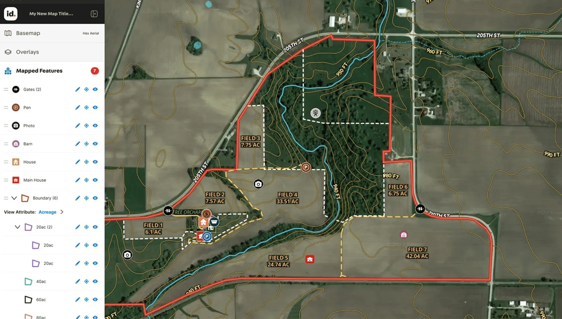
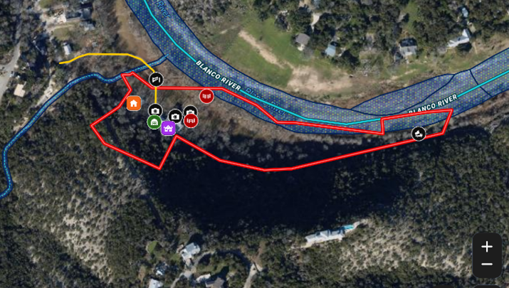
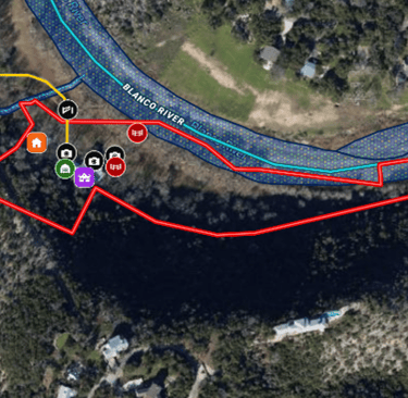
Land id™ enables Real Estate professionals, ranchers, farmers, appraisers, builders, landowners, to discover extensive private parcel data, create & showcase powerful, shareable, interactive maps. By gathering all of the pertinent data regarding your subject property, our team can build an interactive, detailed map that can be embedded in your website or listing service, and even be shared with your clients. When used with a mobile connected tablet, our interactive maps will show your live location on any property no matter how large. This is especially useful on large acreage properties to help agents navigate many square miles so they don’t get lost.
Follow Us!
© 2021-2025 Sky Captain Media® is a Registered Trademark of Sky Captain Media, LLC. All rights reserved


CORPORATE
Software Technologies
Our Fleet
Merch
Tech Support
Consultating Services
Report Abuse