The only way to predict the future is to create it!
Mapping & Surveys
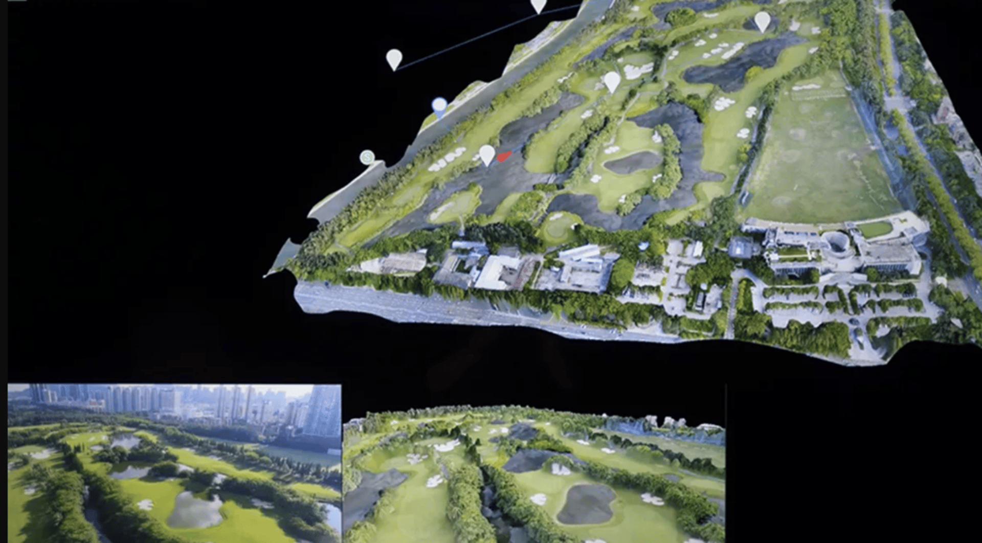
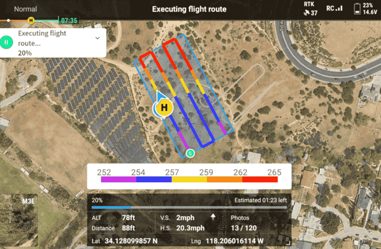
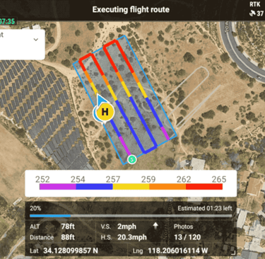
Sky Captain Media® provides cutting-edge drone mapping and surveying services that enable our clients to gather highly accurate geospatial data for a wide variety of applications. Our highly advanced, industry-specific drone technologies deliver precise, high-resolution imagery and topographical maps that save time, reduce costs, and enhance the quality of each project. Whether working in construction, real estate, agriculture, mining, or environmental conservation, our drone mapping and surveying solutions offer reliable and actionable insights that provide informed decision-making.
Follow Us!
© 2021-2025 Sky Captain Media® is a Registered Trademark of Sky Captain Media, LLC. All rights reserved


CORPORATE
Software Technologies
Our Fleet
Merch
Tech Support
Consultating Services
Report Abuse